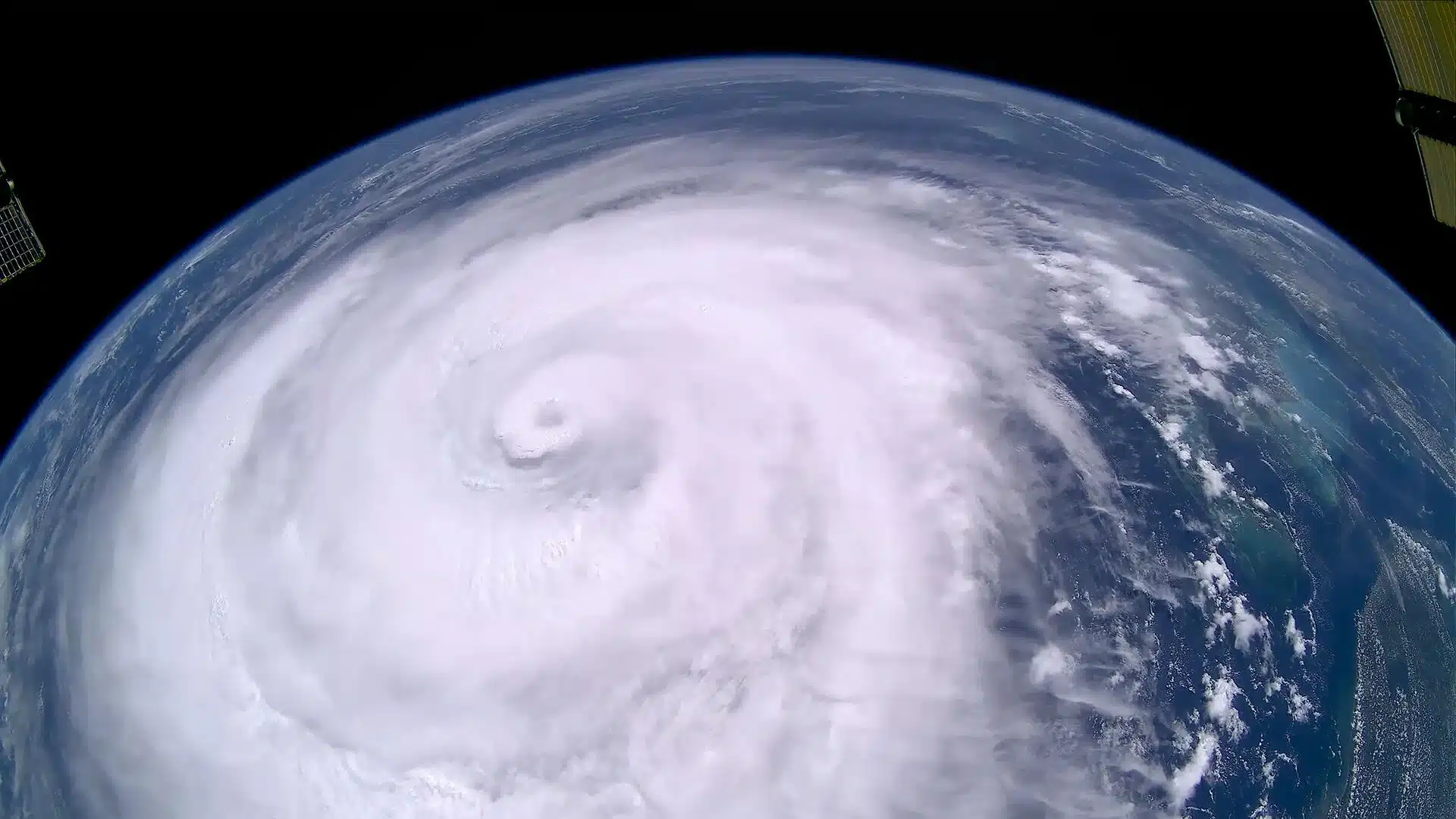
Hurricane Erin, which emerged over the Atlantic in mid-August 2025, rapidly evolved into one of the most powerful storms ever recorded in the region. Initially a modest cluster of clouds, it intensified with unprecedented speed into a Category 5 hurricane, boasting wind speeds of up to 260 km/h. This swift escalation, captured by the GOES-19 satellite, displayed a near-perfect cyclone structure, with lightning-filled cloud bands encircling its eye, highlighting the storm’s immense energy.
The storm’s development was not only tracked from space but also studied from within. Specially equipped aircraft, known as hurricane hunters, flew directly into Erin’s core to collect critical data on atmospheric pressure and wind velocity. These high-risk missions provided invaluable insights that allowed meteorological centres to refine forecasting models and issue timely warnings.
Erin’s eye spanned 56 kilometres, and its tropical-storm-force winds extended nearly 370 kilometres from the centre, affecting areas far beyond its direct path. In response, emergency measures were enacted in several regions, including mandatory evacuations on Ocracoke Island, North Carolina. The primary threat came not just from wind but from water: waves as high as seven metres were reported hundreds of kilometres away, posing severe risks of coastal flooding and erosion, particularly in Bermuda.
One of the most alarming aspects of Erin was its rapid intensification, a phenomenon increasingly linked to climate change. Scientists attribute this acceleration to abnormally warm ocean surface temperatures—conditions that are becoming more common due to global warming. Warmer waters act as a potent fuel source for tropical cyclones, while a hotter, more humid atmosphere contributes to heavier rainfall and greater storm destructiveness.
Erin’s formation occurred in ocean waters that had reached record temperatures for the season, making it a stark example of how climate change is influencing storm behaviour. The data and imagery gathered from this hurricane are now vital resources for improving forecasting accuracy and preparedness strategies.
As the Atlantic hurricane season continues to evolve, Hurricane Erin stands as a sobering reminder of the growing intensity and frequency of extreme weather events. The scientific community faces increasing pressure to adapt and enhance its understanding of these rapidly changing natural phenomena.
